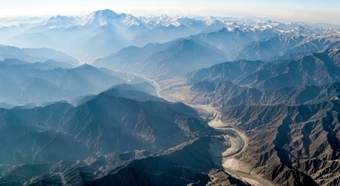
Geomorphology is the study of Earth’s landforms, their processes, and the shaping forces behind them.
Understanding the Earth’s surface
Geomorphology helps us understand how different landforms are created and how they evolve over time.
The forces at work
A variety of forces contribute to the shaping of landforms, including tectonic activity, weathering, erosion, and deposition.
Tectonic activity
Tectonic activity, such as earthquakes and volcanic eruptions, can create new landforms and drastically alter existing ones.
Weathering
Weathering breaks down rocks and minerals, contributing to the formation of various landforms such as mountains, cliffs, and caves.
Erosion
Erosion, caused by factors such as water, wind, and ice, can carve out valleys, canyons, and river deltas.
Deposition
Deposition occurs when eroded material is transported and deposited in new locations, forming features like beaches, sand dunes, and alluvial plains.
The tools of the trade
Geomorphologists use a variety of tools and techniques to study landforms, including satellite imagery, topographic maps, and field observations.
Applications of geomorphology
Geomorphology has important applications in fields such as environmental science, engineering, and conservation.
Delving deeper
By delving into the fascinating world of geomorphology, we can gain a deeper appreciation for the dynamic and ever-changing nature of Earth’s surface.

