
Unraveling Earth’s Mysteries: The Fascinating Field of Seismic Geomorphology
Seismic Geomorphology: An Introduction
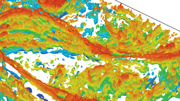
Seismic geomorphology is a branch of geology that focuses on studying the Earth’s surface and subsurface using seismic data.
Understanding Earth’s Interior
By analyzing seismic waves, scientists can gain insights into the structure and composition of the Earth’s interior.
Uncovering Ancient Landscapes
Seismic geomorphology helps researchers uncover ancient landscapes that have been buried over time, providing a glimpse into the Earth’s geological history.
Detecting Faults and Folds
Seismic data can also be used to detect faults and folds in the Earth’s crust, providing valuable information for understanding earthquake hazards.
Mapping Subsurface Reservoirs
In the field of petroleum geology, seismic geomorphology is used to map subsurface reservoirs of oil and gas, aiding in the search for new sources of energy.
Exploring the Ocean Floor
Seismic geomorphology is also used to study the ocean floor, helping researchers understand underwater topography and geological processes.
Conclusion
In conclusion, seismic geomorphology is a fascinating field that plays a crucial role in unraveling the mysteries of the Earth’s surface and subsurface. By analyzing seismic data, scientists can gain valuable insights into the Earth’s geological history, detect natural hazards, and explore new sources of energy.