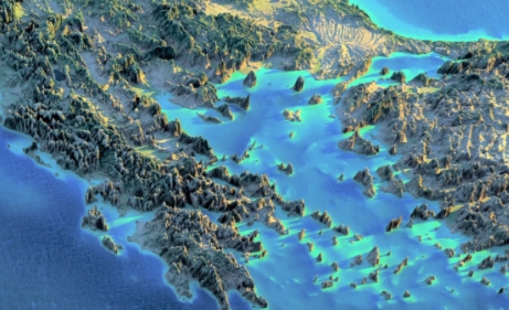
Ancient maps have long been sources of fascination and intrigue for scholars and historians. These maps provide valuable insights into the geographical knowledge and navigation techniques of ancient civilizations.
Mapping the Unknown
Ancient maps often depicted vast stretches of uncharted territory, marked with mysterious symbols and mythological creatures. These maps were not just tools for navigation, but also symbolic representations of the unknown and the unexplored.
Navigating the Seas
Ancient mariners relied on maps to navigate the treacherous waters of the seas. These maps were meticulously crafted, using a combination of observations, calculations, and traditional knowledge passed down through generations.
The Silk Road and Beyond
One of the most famous ancient trade routes, the Silk Road, spanned across continents and connected civilizations. Maps played a crucial role in facilitating trade and communication along this vast network of routes.
Mapping the Heavens
Ancient maps also depicted the celestial skies, mapping out the movements of the stars and planets. These maps were used for navigation, timekeeping, and religious rituals, showcasing the interconnectedness between the earthly and the divine.
Unraveling the Mysteries
By studying ancient maps, historians can unravel the mysteries of ancient geography and gain a deeper understanding of how civilizations perceived and interacted with the world around them. These maps offer a window into the past, shedding light on the knowledge, beliefs, and technologies of ancient societies.
In conclusion, ancient maps are not just artifacts of the past, but windows into the minds of our ancestors. By unraveling the mysteries of these ancient maps, we can gain a greater appreciation for the ingenuity and creativity of those who came before us.

