
GIS Geomorphology: An Introduction
GIS, or Geographic Information System, technology allows us to explore the world in a whole new way. When it comes to studying the shape of the Earth’s surface, GIS geomorphology offers a fascinating look at how landscapes are formed and changed over time.
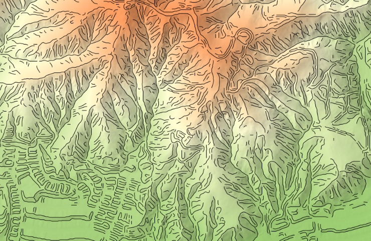
Mapping Landforms with GIS
One of the key uses of GIS in geomorphology is in mapping and analyzing landforms. By creating detailed maps of features like rivers, mountains, and valleys, researchers can gain a deeper understanding of how these landforms have been shaped by processes such as erosion, tectonic activity, and glaciation.
Tracking Changes Over Time
Another important application of GIS geomorphology is in tracking changes to the landscape over time. By comparing historical maps and data with current information, scientists can see how natural and human-induced factors have altered the Earth’s surface. This can be crucial for understanding and mitigating the impacts of phenomena such as climate change and deforestation.
Predicting Future Landscape Changes
With the help of GIS technology, researchers can also predict how landscapes may change in the future. By analyzing factors such as rainfall patterns, soil types, and land use practices, scientists can create models that forecast how landforms may evolve over time. This information is invaluable for planning and decision-making in areas such as urban development and conservation.
Exploring the Subsurface
GIS geomorphology also allows us to explore the Earth’s subsurface in new and exciting ways. By combining data from sources such as satellite imagery and ground-penetrating radar, researchers can create three-dimensional models of the Earth’s interior. This can provide valuable insights into processes such as groundwater flow, soil composition, and fault lines.
Conclusion
In conclusion, GIS geomorphology offers a wealth of opportunities for exploring and understanding the Earth’s surface and subsurface. By mapping landforms, tracking changes over time, predicting future landscape changes, and exploring the subsurface, researchers can gain valuable insights into the processes that shape our planet. As technology continues to advance, the field of GIS geomorphology promises to offer even more exciting discoveries and innovations.