
Landform classification is a fundamental aspect of geomorphology, the study of the Earth’s landforms and the processes that shape them. By categorizing different types of landforms, scientists can better understand the geological history and future evolution of the Earth’s surface.
The Basics of Geomorphology
Geomorphology examines the processes that shape the Earth’s surface, including erosion, weathering, and tectonic activity. It aims to understand how landforms are created and how they change over time.
Landform Classification
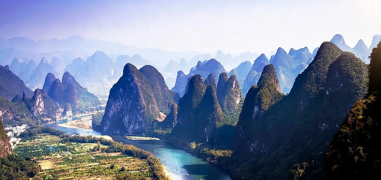
Landforms can be classified in various ways, based on their origin, shape, and location. Some common classifications include mountains, valleys, plains, plateaus, and canyons.
Origins of Landforms
Landforms can be created through a variety of processes, such as tectonic activity, erosion by water and wind, volcanic activity, and glaciation. Each type of landform has its own unique characteristics and can provide valuable insights into the Earth’s geological history.
Shape and Size of Landforms
Landforms come in a wide range of shapes and sizes, from small hills and valleys to towering mountains and deep canyons. The size and shape of a landform can provide clues about the processes that formed it and the environmental conditions that have shaped it over time.
Location of Landforms
Landforms can be found in a wide range of environments, from coastal regions to deserts to polar regions. The location of a landform can be influenced by factors such as climate, geology, and tectonic activity, and can have a significant impact on its structure and evolution.
The Future of Landform Classification
As our understanding of geomorphology continues to evolve, so too will our classification of landforms. By refining our classification systems and incorporating new data and technologies, scientists can gain a deeper understanding of the Earth’s surface and its dynamic processes.
In conclusion, landform classification is a vital aspect of geomorphology that helps scientists better understand the Earth’s surface and its evolution over time. By categorizing and studying different types of landforms, researchers can uncover valuable insights into the geological processes that shape our planet.